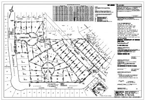
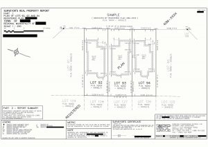
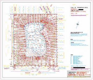
Cadastral Surveying · Subdivision surveys Engineering Surveying · Topographic surveys GPS Surveying · Positional data for Geodetic purposes and for GIS geocoding of data in the field to user defined accuracies. Geodetic Surveying · Horizontal and vertical control surveys Geographic Data Collection · Field data capture to user defined accuracies using GPS, Total Station and conventional survey techniques. Integration with CAD and GIS systems
· Condominium surveys
· Boundary Retracement surveys
· Surveyor’s Real Property Reports
· Site Plans
· Transmission line surveys
· Precision layout and alignment
· Residential and Commercial structures
· Municipal Services
· Volume Calculations
· Precise astronomic observations
· Control network design, analysis and adjustment


